The CHMS and UVIGO showed progress in flood risk analysis through hydrological and hydraulic models implemented in the new SAIH flood decision support system, key elements to improve the resilience of territories to extreme weather events.
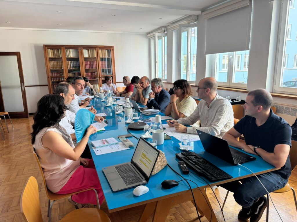
The 17th meeting of partners of the RISC_PLUS project, an initiative co-financed by the INTERREG VI A – POCTEP program and considered of strategic importance in the field of cross-border cooperation for the management of risks associated with climate change, was held at the headquarters of APA-ARH Norte, in Oporto.
The conference brought together representatives of the four project partners: the Hydrographic Confederation of Minho-Sil (CHMS), the Portuguese Environmental Agency (APA), the Faculty of Engineering of the University of Porto (FEUP) and the University of Vigo (UVIGO).
During the meeting, an exhaustive review was made of the project execution status, both from a technical and financial point of view. Among the milestones highlighted was the commissioning of several hydrometeorological monitoring stations in real time by the CHMS, more specifically the stations of the Automatic Hydrological System (SAIH) in the Quiroga river in Quiroga (Lugo), Lobios river in Lobios (Ourense), Narla river in Friol (Lugo), Sil river in Toreno (León), in addition to the station of the Automatic Water Quality System (SAICA) of the Tamuxe river in El Rosal (Pontevedra).
It was also reported that the station of the Temblor river in Torre del Bierzo (León) is being executed, and the stations of the Támoga river in Cospeito (Lugo) and the Barbaña river in Ourense are about to start.
In the same way, the CHMS, in collaboration with the Hydrographic Studies Center of CEDEX, is starting to work on the adjustment of the inventory of natural water resources of the Demarcation.
The status of the new Drought Plan of the Spanish part of the Demarcation was reported and, on the other hand, FEUP presented a predictive model for the prevention of the effects of drought several months ahead.
Likewise, CHMS and UVIGO showed progress in flood risk analysis through the hydrological and hydraulic models implemented in the new SAIH flood decision support system, key elements to improve the resilience of the territories to extreme weather events.
Another central point of the meeting was the definition of the scope of the socioeconomic study foreseen in Activity 4, whose development will be addressed in the coming months. This study will evaluate the impacts of extreme events on the population and economic activities of the region, providing an integral vision of the project’s actions.