These measures form part of the efforts to strengthen the Water Resources Monitoring and Warning System (SVARH), expanding and optimising the existing network by adding new monitoring points and upgrading existing infrastructure. This increases the geographical coverage and the reliability of the data collected.
The new stations are equipped with remote transmission systems that provide real-time information on key variables such as river levels, flow rates and rainfall. This data is essential for the early detection of risk situations, such as floods or episodes of heavy rain, facilitating decision-making by the authorities.
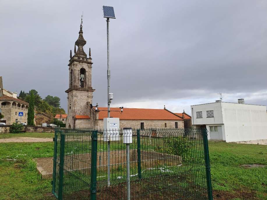
Notable among these installations are the hydrometric stations at Cavada, on the River Coura, and at Monção, on the River Miño, both situated at strategic points for flood risk monitoring. In addition, stations have been added at Cerdeira, Extremo, Merufe and Nogueira, focused on rainfall monitoring, as well as a meteorological station at Vila Nova de Cerveira.
The combination of these facilities provides an integrated view of the basin’s hydrological behaviour, improving the interpretation of phenomena and the capacity to respond to adverse events.
The integration of these stations into the SVARH system reinforces its role as a key tool for water resource management and civil protection, helping to reduce response times and improve the effectiveness of mitigation measures.
Furthermore, the data generated will enable progress in the study of climate trends and in hydrological planning, in a context marked by the impact of climate change. This strengthening of the monitoring network also promotes cross-border cooperation in the Miño basin, a fundamental element for joint water management and risk prevention on both sides of the border.
The project is co-funded by the European Interreg Spain–Portugal (POCTEP) programme 2021–2027 and is committed to technological innovation, scientific knowledge and institutional collaboration to move towards safer and more resilient territories.